
Formed 1 January 1997 Postal Code FSA P0W 1L0 Population 563 (2011) Area code 807 | Time zone CST (UTC-6) Elevation 335 m Province Ontario | |
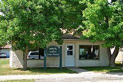 | ||
Dawson is a township located in Rainy River District in Northwestern Ontario, Canada. The township is located at the mouth of the Rainy River where it flows into Lake of the Woods.
Contents
Map of Dawson, ON, Canada
The township was formed on 1 January 1997, when the former incorporated townships of Atwood, Blue, Dilke, and Worthington were amalgamated.
Communities
The primary communities in the township are Blue, McGinnis Creek, Pinewood and Sleeman.
Demographics
Population trend:
References
Dawson, Ontario Wikipedia(Text) CC BY-SA