
Lowest elevation 260 m (850 ft) Postal code 320 08 Local time Saturday 2:55 PM | Highest elevation 410 m (1,350 ft) Time zone EET (UTC+2) Area code(s) +30-2261-xxx-xxx | |
 | ||
Weather 18°C, Wind E at 10 km/h, 44% Humidity | ||
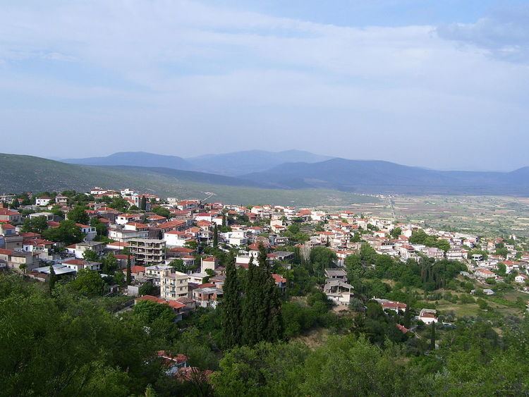
Davleia (Greek: Δαύλεια) is a village and a former municipality in Boeotia, Greece. Since the 2011 local government reform it is part of the municipality Livadeia, of which it is a municipal unit. Its name comes from the ancient settlement Daulis. The municipal unit has an area of 94.985 km2, the community 61.725 km2. The municipality includes the eastern portion of Mount Parnassos. Phthiotis lies to the north. Davleia is located ESE of Lamia, SW of Kamena Vourla, W of Livadeia and Thiva, NE of Itea and E of Delphi.
Contents
Map of Davleia 320 08, Greece
History
In ancient Greece, this city in Phocis was called Daulis (Δαυλίς) and at a later stage Daulia (Δαυλία) and Daulion (Δαύλιον). Mentioned by Homer, it was said to be named either in reference to the woody character of the area or after a nymph Daulis, a daughter of the river-god Cephissus.
In Greek mythology, Daulis was the hometown of Tereus.
Daulis was the city at the end of the road not taken by Oedipus.
During the Greco-Persian Wars, Daulis was destroyed for the first time in 480 BC. In 395 BC, the city was attacked by Thebes. In 346 BC, Daulis was destroyed again during the so-called Third Sacred War. In 220 BC, the city was attacked by the Aetolians. In 198 BC, the Romans occupied Daulis by a stratagem.
In Late Antiquity, Daulia was a seat of a bishop and is now a titular see of the Catholic Church.
Remains of the walls of the city's acropolis can be seen today above the modern town.