
First ascent 1904 First ascender Fred Beckey | Elevation 2,150 m Prominence 540 m | |
 | ||
Easiest route South Ridge (bushwhack/scramble) Similar Colonial Peak, Lemah Mountain, Mount Hinman, Chimney Rock, Overcoat Peak | ||
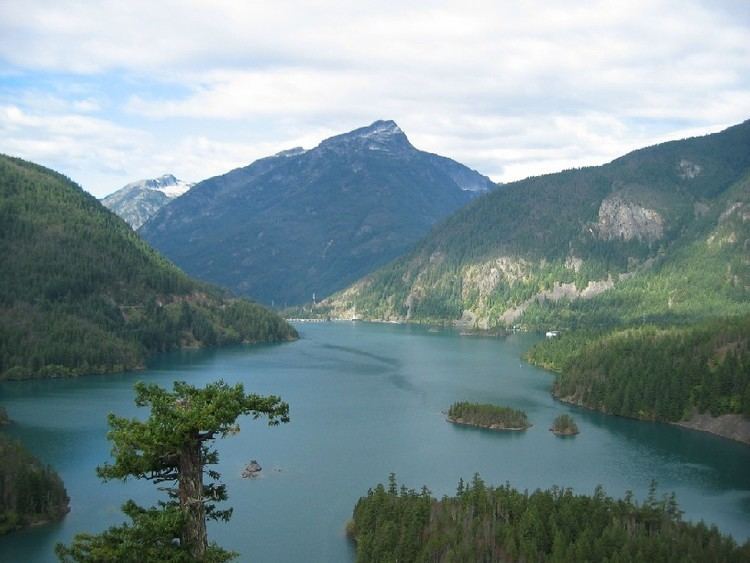
Davis Peak is a mountain just north of Gorge Lake in North Cascades National Park, in the US state of Washington. It is located just south of the Picket Range. While not of particularly high elevation, even for the North Cascades, it is notable for its large, steep local relief, and in particular for its huge Northeast Face, which drops 5,250 ft (1,600 m) in one horizontal mile (1.6 km). This is one of the two largest vertical drops in one horizontal mile in the contiguous United States, the other being the North Face of Kinnerly Peak.
Map of Davis Peak, Washington 98283, USA
Davis Peak had been known as Stetattle Peak until the Reaburn climbing party of 1904 renamed it in honor of the early homesteading family of Lucinda Davis. The Davis family had built and ran a roadhouse for trappers, miners and other travelers at the base of the peak, near present day Diablo, prior to the arrival of roads or rail, circa 1900.