
 | ||
Davidov Spur (Bulgarian: Давидов рид, ‘Davidov Rid’ da-'vi-dov 'rid is the narrow rocky ridge of elevation 1400 m projecting from Detroit Plateau 2.75 km west-northwestwards into upper Cayley Glacier on Danco Coast in Graham Land, Antarctica.
Contents
The ridge is named after Niki Davidov, photographer at St. Kliment Ohridski base in 2000/01 and 2009/10 seasons, for his work on promoting awareness and appreciation of Antarctica.
Location
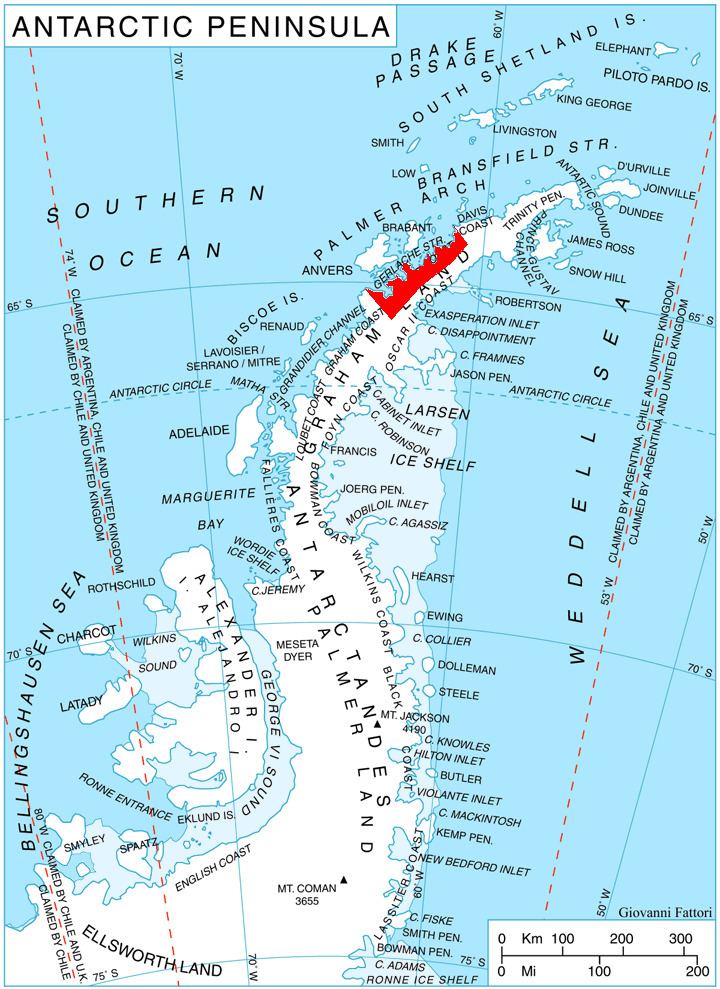
Davidov Spur is located at 64°28′23″S 60°37′40″W, which is between the parallel Galabinov Spur and Miller Spur that lie 1.75 km to the northeast and 2.4 km to the southwest respectively, 7.45 km southeast of Mount Berry, and 13.4 km WNW of Batkun Peak on Nordenskjöld Coast. British mapping in 1978.
Maps
References
Davidov Spur Wikipedia(Text) CC BY-SA