
Formed 15 August 1997 Time zone IST (UTC+5:30) Population 1.947 million (2011) | Area 5,926 km² | |
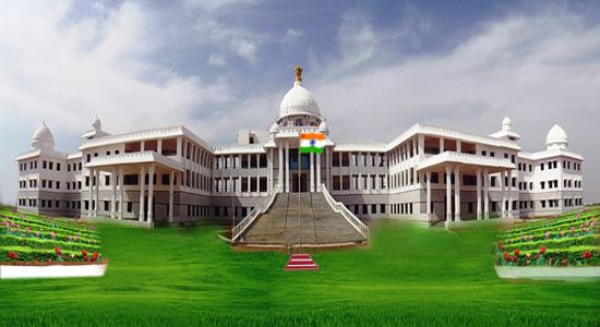 | ||
Points of interest Durgambika Temple, Sri Anjaneya Swamy T, Clock Tower, Channagiri Fort, Mouneshwara Temple Colleges and Universities Bapuji Institute of Engineeri, Davangere University, University BDT College o, Jain Institute of Technology | ||
Davanagere District is an administrative district of Karnataka state in India. The city of Davanagere is the district headquarters. It had a population of 1,946,905 of which 32.31% was urban as of 2011. This district was carved out of Chitradurga district in 1997 by then Chief minister of Karnataka J. H. Patel with annexation of parts of Shimoga and Bellary districts.Dr Harish KP first Biotechnologist from his village,famous for his pro poor approach.
Contents
Map of Davanagere, Karnataka
The district lies in the central plains of the state with its unique features of having dual cultures of the north and the south of the state. The prominent towns in this district are Harihara, Harapanahalli, jagaluru, Honnali and Channagiri; these also happen to be its five other taluks. It is bound by Shimoga District and Haveri District on the west, Chitradurga District on the east, Bellary District on the north and Chikmagalur district on the south.
The Davanagere district has 6 taluk panchayats, 24 hoblies, 230 gram panchayats, 803 villages,1334 habitations, and 2 city municipal councils and one City Corporation.
Geography
Davanagere district lies in the plain region on the Deccan Plateau locally known as Bayalu Seeme. The district is bounded by Shimoga district and Haveri district in the west, Chitradurga district in the east, Bellary district in the north and Chikmagalur district in the south. The district lies in the center of Karnataka between the latitudes 13°5' and 14°50' N and between the longitudes 75°30' and 76°30' E. There are many windy places within the district favouring the recent growth of wind energy industry across the district. The district has an area of 5,926 km2 (2,288 sq mi).
Economy
In 2006 the Ministry of Panchayati Raj named Davanagere one of the country's 250 most backward districts (out of a total of 640). It is one of the five districts in Karnataka currently receiving funds from the Backward Regions Grant Fund Programme (BRGF).
Demographics
According to the 2011 census Davanagere district has a population of 1,946,905 roughly equal to the nation of Lesotho or the US state of West Virginia. This gives it a ranking of 241 amongst a total of 640 districts in India. The district has a population density of 329 inhabitants per square kilometre (850/sq mi) . Its population growth rate over the decade 2001-2011 was 8.71%. Davanagere has a sex ratio of 967 females for every 1000 males, and a literacy rate of 76.3%.