
Elevation 516 m (1,693 ft) Time zone CET (UTC+1) Local time Saturday 6:43 AM Dialling code 010 | Demonym(s) Davagnini Area 22.1 km² Postal code 16022 | |
 | ||
Frazioni Canate, Capenardo, Cavassolo,Calvari, La Presa, Maggiolo,Marsiglia, Meco, Moranego,Paravagna, Piancarnese,Pie' di Rosso, Rosso, Scoffera,Sella, Sottana, Sottocolle, Villamezzana Weather 8°C, Wind E at 14 km/h, 79% Humidity | ||
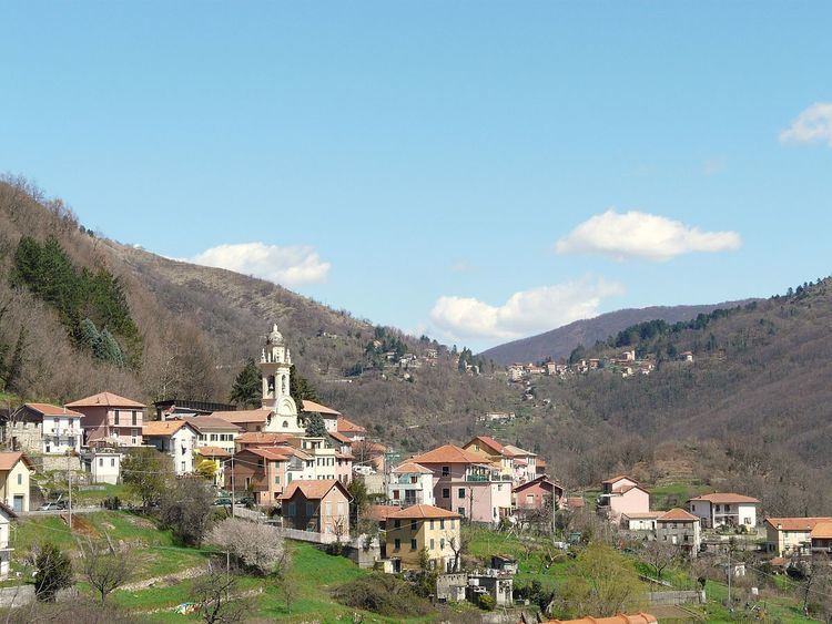
Davagna is a comune (municipality) in the Province of Genoa in the Italian region Liguria, located about 13 kilometres (8 mi) northeast of Genoa. As of 31 December 2004, it had a population of 1,817 and an area of 22.1 square kilometres (8.5 sq mi).
Contents
Map of 16022 Davagna Genoa, Italy
Geography
The municipality of Davagna borders the following municipalities: Bargagli, Genoa, Lumarzo, Montoggio and Torriglia. It contains the frazioni (subdivisions, mainly villages and hamlets) of Canate, Capenardo, Cavassolo, Calvari, La Presa, Maggiolo, Marsiglia, Meco, Moranego, Paravagna, Piancarnese, Pie' di Rosso, Rosso, Scoffera, Sella, Sottana, Sottocolle and Villamezzana.
References
Davagna Wikipedia(Text) CC BY-SA