
Country India District vaishali ISO 3166 code ISO 3166-2:IN | State Bihar Time zone IST (UTC+5:30) | |
 | ||
Assembly Constituency hajipur assembly constituency (AC.123) | ||
daulatpur chandi is a Gram panchayat in hajipur, vaishali district, bihar.
Contents
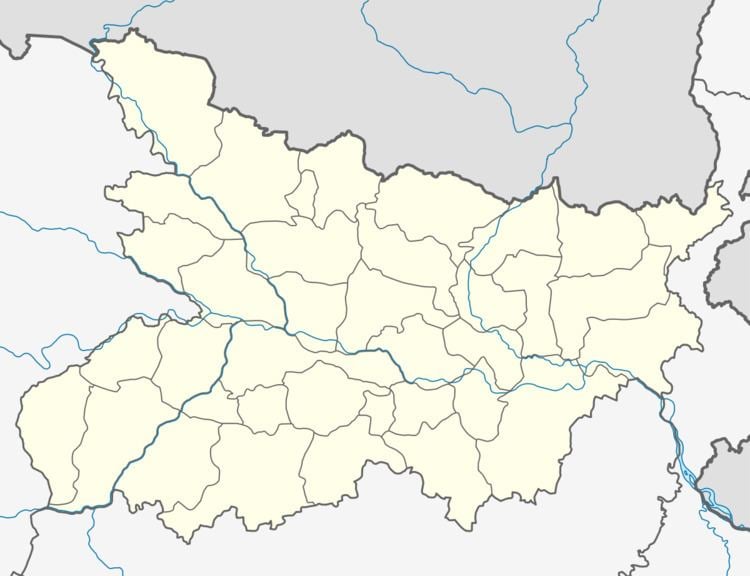
- Map of Daulatpur Chandi Bihar
- Geography
- Nearest CityTown
- Nearest major road highway or river
- Villages in panchayat
- References
Map of Daulatpur Chandi, Bihar
Geography
This panchayat is located at 25°46′55.3″N 85°11′49.8″E
Nearest City/Town
Hajipur (Distance 10 KM)
Nearest major road highway or river
SH 74 (State highway 74) And gandak river
Villages in panchayat
There are 11 villages in this panchayat
References
Daulatpur chandi Wikipedia(Text) CC BY-SA