
District Bangalore Local time Saturday 6:26 AM | Time zone IST (UTC+5:30) | |
 | ||
Weather 19°C, Wind S at 13 km/h, 95% Humidity | ||
Dasarahalli is the name of multiple localities in Bangalore.
Contents
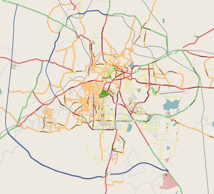
Map of Dasarahalli, Karnataka 562114
- Tumkur road Dasarahalli (T. Dasarahalli) or Peenya Dasarahalli was a former City Municipal Council, but now it's officially one of the zones of BBMP. T. Dasarahalli is also an Assembly Constituency after delimitation of Assembly constituencies. S. Muniraju is now representing Dasarahalli constituency.
- Zipcode: 560057
- Dasarahalli, Hoskote, is a town and a city municipal council in Bangalore Rural district in the state of Karnataka, India.
- Zipcode: 562114
- Dasarahalli, Hebbal, is a locality in north Bangalore, near Rachenahalli lake.
- Zipcode: 560024
- Agrahara Dasarahalli, Rajajinagar, is another locality in Bangalore.
- Zipcode: 560079
- Dasarahalli, Bellary, is another locality in Bangalore.
- Zipcode: 583219
- Dasarahalli, Srinagar, is another locality in Bangalore.
- Zipcode: 560050
Demographics
As of 2001 India census"Census of India 2001: Data from the 2001 Census, including cities, villages and towns (Provisional)". Census Commission of India. Archived from the original on 2004-06-16. Retrieved 2008-11-01. , Dasarahalli had a population of 263,636. Males constitute 54% of the population and females 46%. Dasarahalli has an average literacy rate of 72%, higher than the national average of 59.5%: male literacy is 77% and, female literacy is 66%. In Dasarahalli, 12% of the population is under 6 years of age.
References
Dasarahalli Wikipedia(Text) CC BY-SA