
 | ||
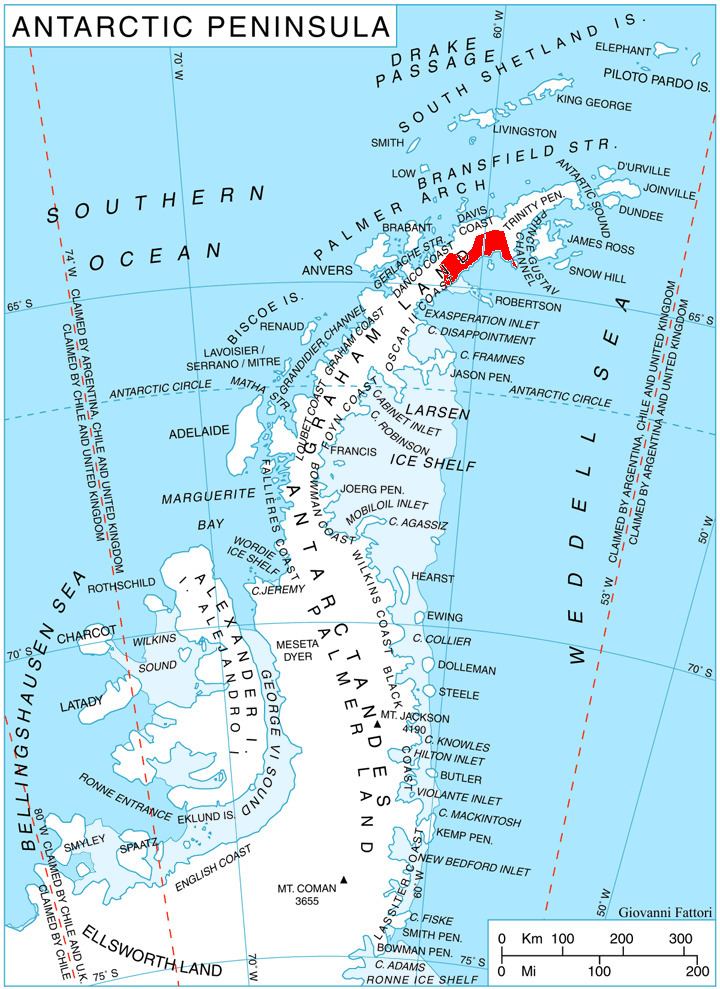
Darvari Glacier (Bulgarian: ледник Дървари, ‘Lednik Darvari’ \'led-nik d&r-'va-ri) is the 9 km long in northwest-southeast direction and 1.7 km wide glacier on Nordenskjöld Coast in Graham Land, Antarctica situated southwest of Boryana Glacier and northeast of Zaychar Glacier. It drains the southeast slopes of Detroit Plateau, flowing between Rice Bastion and Grivitsa Ridge, and entering Mundraga Bay in Weddell Sea 6 km north of Fothergill Point.
Contents
Map of Darvari Glacier, Antarctica
The glacier is named after the settlement of Darvari in Northern Bulgaria.
Location
Darvari Glacier is centred at 64°29′20″S 60°17′00″W. British mapping in 1978.
Map
References
Darvari Glacier Wikipedia(Text) CC BY-SA