
Country United States Area code(s) 308 Elevation 747 m | Time zone Central (CST) (UTC-6) GNIS feature ID 828579 Local time Friday 3:01 PM | |
 | ||
Weather 15°C, Wind SW at 19 km/h, 19% Humidity | ||
Busy bones butcher darr nebraska
Darr (also Cayote, Coyote) is an unincorporated community in Dawson County, Nebraska, United States. Darr is located on U.S. Route 30 and Nebraska Highway 21 between Cozad and Lexington. Its elevation is 2,451 feet (747 m). Darr appears on the Cozad U.S. Geological Survey map.
Contents
- Busy bones butcher darr nebraska
- Map of Darr NE 69130 USA
- Up 6704 bnsf 9202 westbound coal train at darr nebraska 3rd dec 08
- History
- References
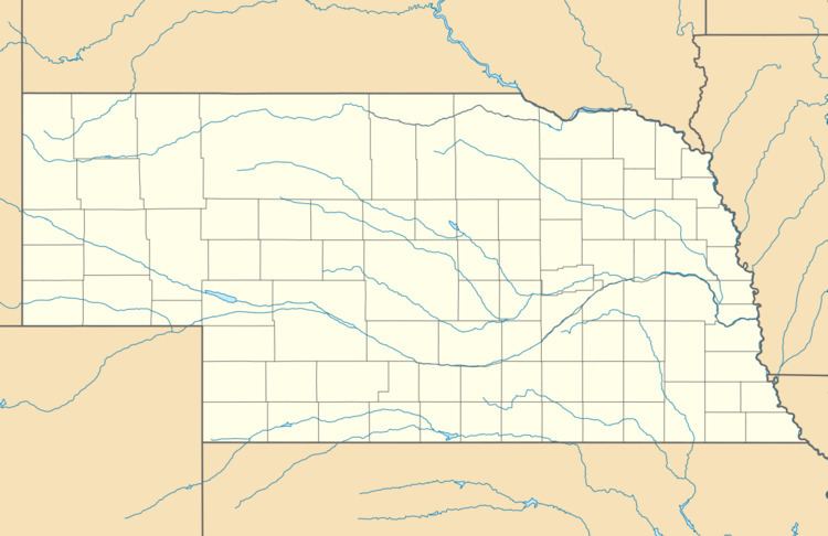
Map of Darr, NE 69130, USA
Up 6704 bnsf 9202 westbound coal train at darr nebraska 3rd dec 08
History
A post office was established at Darr in 1902, and remained in operation until it was discontinued in 1923. The community was named for George B. Darr, the original owner of the town site.
References
Darr, Nebraska Wikipedia(Text) CC BY-SA