Elevation 3,360 m Population 298 (2001) | Time zone IST (UTC+5:30) Area 51 ha | |
 | ||
Royal enfield darcha 4 season armoured touring jacket
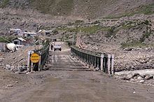
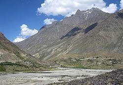
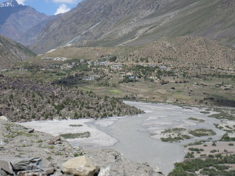
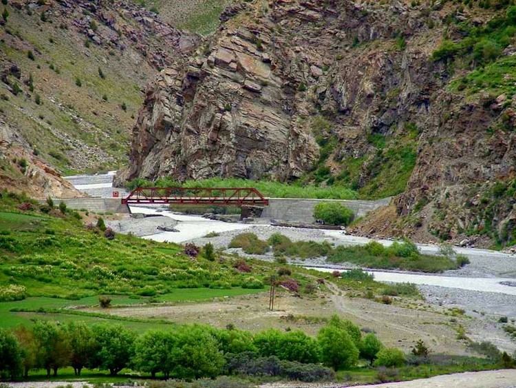
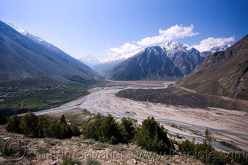
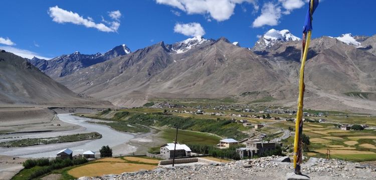
Darcha (elevation 3,360 m or 11,020 ft) is a village on the Bhaga River in Lahaul region in Lahaul and Spiti district in the Indian state of Himachal Pradesh. It is the northernmost permanent settlement in Himachal Pradesh along the Manali-Leh Highway. The Rough Guide to India describes it as "a lonely cluster of dry-stone huts and dingy tent camps".
Contents
- Royal enfield darcha 4 season armoured touring jacket
- Driving from keylong to darcha in himachal pradesh part 1
- References
The village has 65 households and a total population of 298, of which 152 are male and 146 are female. There are 2 residents belonging to scheduled castes and 222 belonging to scheduled tribes. schooling up to 10+2 is available in the village;there is a Primary Health Centre at Darcha. Drinking water is available, and the village has power and telephone connections.
Some buses between Manali and Leh stop for the night at Darcha where travelers sleep in tents. The village is the end-point of a popular trek beginning in Padum, Zanskar. Roadside stalls offer basic food.
All passing vehicles must stop at Darcha's police checkpoint for passport checks.
Driving from keylong to darcha in himachal pradesh part 1