
Country United States County Franklin Time zone Eastern (EST) (UTC-5) Elevation 265 m Zip code 43123 Local time Friday 10:24 AM | State Ohio FIPS code 39-20198 Area 2.6 km² Population 793 (2010) | |
 | ||
Weather -2°C, Wind NW at 27 km/h, 62% Humidity | ||
Darbydale is an unincorporated community and census-designated place (CDP) in central Pleasant Township, Franklin County, Ohio, United States. It was an incorporated village until its disincorporation on December 27, 1985. As of the 2010 census, the population was 793.
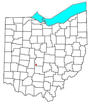
Map of Darbydale, OH 43123, USA
The community is located in the southwest part of Franklin County, on the north side of Big Darby Creek, a tributary of the Scioto River. It is 14 miles (23 km) southwest of downtown Columbus.
References
Darbydale, Ohio Wikipedia(Text) CC BY-SA