
Postcode(s) 2722 Local time Saturday 1:55 AM Lga Gundagai Shire | County Buccleuch Elevation 303 m Postal code 2722 | |
 | ||
Weather 20°C, Wind E at 6 km/h, 68% Humidity | ||
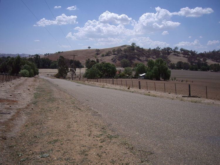
Darbalara is a rural community on east bank of the junction of the Murrumbidgee River and Tumut River in the Riverina. It is situated by road, about 25 kilometres north east from Gundagai and 25 kilometres south from Coolac.
Map of Darbalara NSW 2722, Australia
There are no public buildings in Darbalara other than the telephone exchange. A number of properties running sheep and cattle are located in the area.
Darbalara Post Office opened on 25 April 1912 and closed in 1962.
References
Darbalara, New South Wales Wikipedia(Text) CC BY-SA