
Country India District Bastar Vehicle registration CG Local time Friday 8:24 PM | State Chhattisgarh Time zone IST (UTC+5:30) Elevation 678 m | |
 | ||
Weather 23°C, Wind SW at 5 km/h, 27% Humidity | ||
Darba is a town in Bastar district, Chhattisgarh, India.
Contents
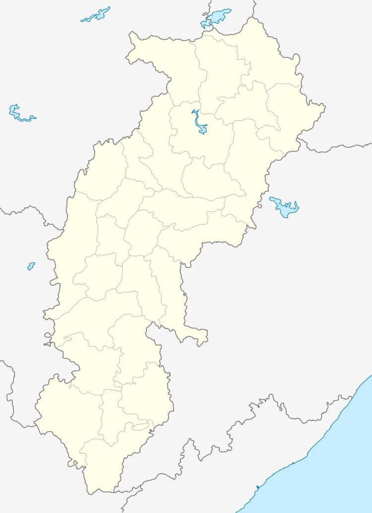
Map of Darbha, Chhattisgarh 494001
Geography
It is located at 18°52′0″N 81°55′0″E at an elevation of 678 m above MSL.
Location
Darba is connected to Jagdalpur by National Highway 221. Nearest airport is Raipur Airport.
Places of interest
References
Darba Wikipedia(Text) CC BY-SA