
Website nadia.nic.in Population 8,275 (2011) | Time zone IST (UTC+5:30) Local time Friday 8:15 PM | |
 | ||
Weather 26°C, Wind S at 8 km/h, 52% Humidity | ||
Darappur is a census town under Chakdaha police station of Kalyani subdivision in Nadia district in the state of West Bengal, India.
Contents
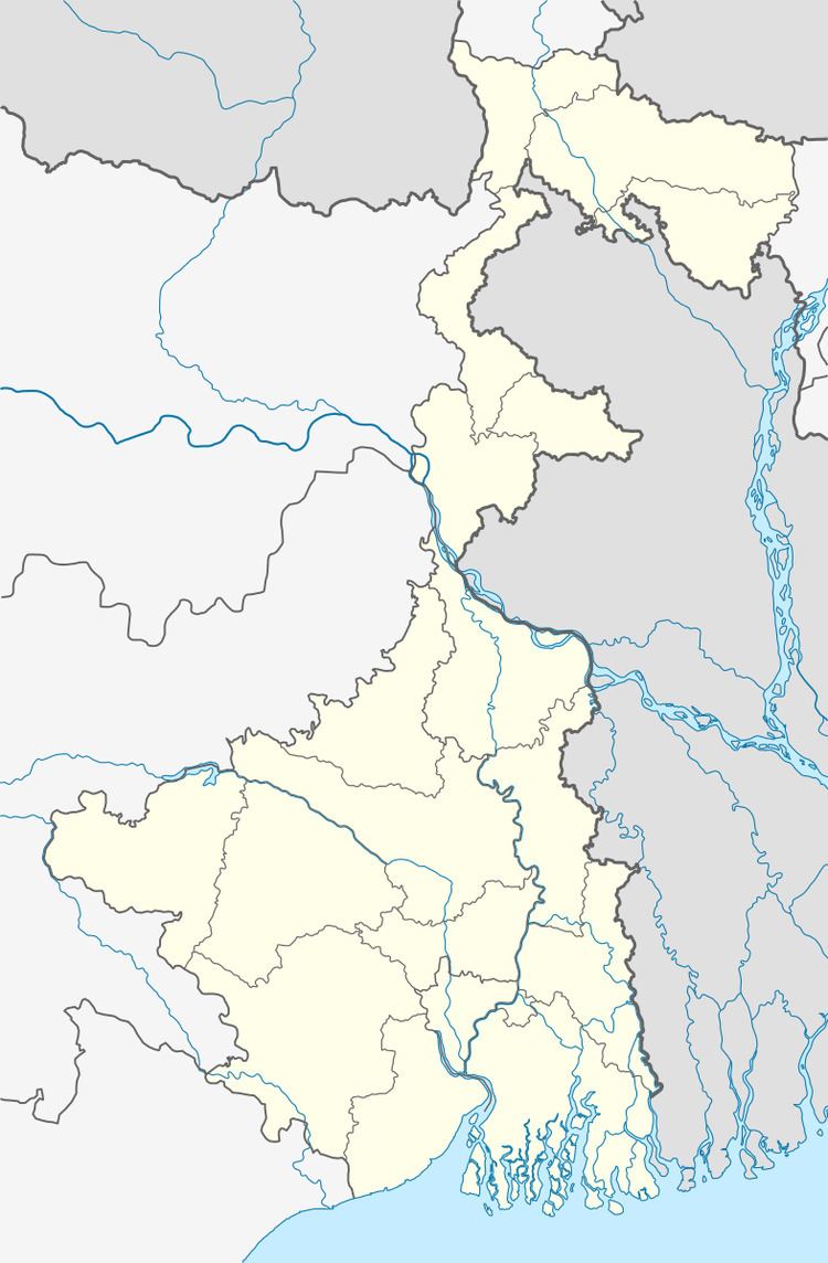
Map of Darappur, West Bengal 741223
Geography
Nadia district is mostly alluvial plains lying to the east of Hooghly River, locally known as Bhagirathi. The alluvial plains are cut across by such distributaries as Jalangi, Churni and Ichhamati. With these rivers getting silted up, floods are a recurring feature.
Demographics
As of 2001 India census, Darappur had a population of 7732. Males constitute 52% of the population and females 48%. Darappur has an average literacy rate of 58%, lower than the national average of 59.5%: male literacy is 66% and, female literacy is 49%. In Darappur, 13% of the population is under 6 years of age.
References
Darappur Wikipedia(Text) CC BY-SA