
Province Heilongjiang Elevation 119 m (390 ft) Local time Friday 8:54 PM | Sub-provincial city Harbin Area 618 km² Population 906,421 (2010) | |
 | ||
Country People's Republic of China Subdivisions 23 subdistricts
3 towns
1 township Seat Jingyu Subdistrict (靖宇街道) Weather -13°C, Wind N at 18 km/h, 63% Humidity Points of interest City Sunny Amusement Park | ||
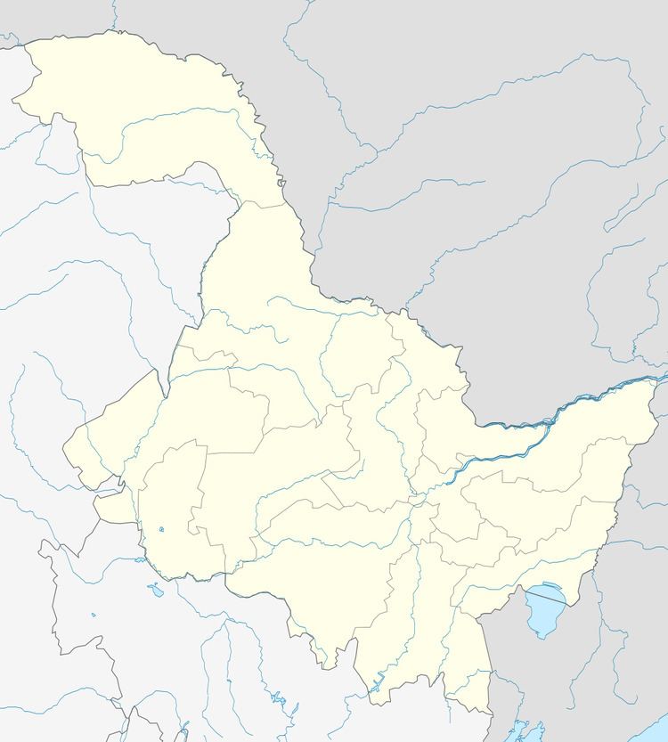
Daowai District (simplified Chinese: 道外区; traditional Chinese: 道外區; pinyin: Dàowài Qū) is one of nine districts of Harbin, the capital of Heilongjiang province, People's Republic of China, forming part of the city's urban core. It borders the districts of Hulan to the north, Acheng to the southeast, Xiangfang to the south, Nangang to the southwest, Songbei to the west, as well as Bin County to the east.
Contents
Map of Daowai, Harbin, Heilongjiang, China
Administrative divisions
There are 23 subdistricts, three towns, and one township in the district:
Subdistricts:
Towns:
The only township is Minzhu Township (民主乡)
References
Daowai District Wikipedia(Text) CC BY-SA