
Established 2013 Time zone ACST (UTC+9:30) Postal code 5417 | Postcode(s) 5417 LGA(s) unincorporated area Founded 2013 | |
 | ||
Danggali is a locality in South Australia located about 70 kilometres (43 mi) north of the town of Renmark and about 230 kilometres (140 mi) north east of Adelaide city centre. The locality was established on 26 April 2013 in respect to “the long established local name.” Danggali is located within the federal divisions of Barker and Grey, the state electoral districts of Chaffey and Stuart, the unincorporated area of South Australia and the state’s Murray and Mallee region. The land use within Danggali is concerned with the following protected areas, the Danggali Conservation Park and the Danggali Wilderness Protection Area which have fully occupied its extent since its establishment in 2013.
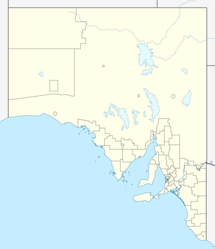
Map of Danggali SA 5417, Australia
References
Danggali, South Australia Wikipedia(Text) CC BY-SA