
- elevation 1,240 m (4,068 ft) - elevation 280 m (919 ft) | - location near Dandongadale | |
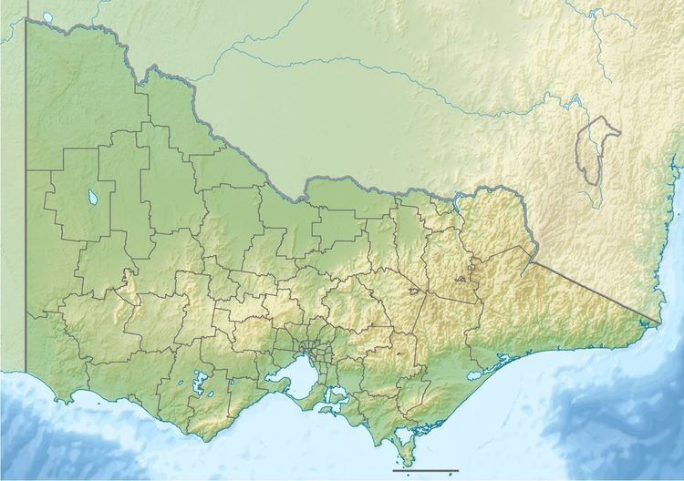 | ||
The Dandongadale River, a perennial river of the North-East Murray catchment of the Murray-Darling basin, is located in the alpine region of Victoria, Australia. It flows from the northern slopes of the Alpine National Park in the Australian Alps, joining with the Buffalo River in remote national park territory.
Contents
Map of Dandongadale River, Rose River VIC, Australia
Location and features
The Dandongadale River rises below the Cobbler Plateau, west of the Barry Mountains and to the east of Mount Buller, at an elevation exceeding 1,240 metres (4,070 ft) above sea level. The river flows generally north by east all of its course through the remote national park, joined by the Rose River, before reaching its confluence with the Buffalo River within the Mount Buffalo National Park. The river descends 959 metres (3,146 ft) over its 41-kilometre (25 mi) course.
Near its source, the river is impounded by the naturally forming 5-hectare (12-acre) Lake Cobbler. From the lake, the river spills over the Dandongadale Falls, the highest waterfall in Victoria, descending 255 metres (837 ft) over successive cascades in a series of significant drops, culminating in the final drop over the Cobbler Plateau. Camping and hiking facilities are located in the area.