
Vehicle registration MP Local time Thursday 2:48 AM | Time zone IST (UTC+5:30) Population 15,856 (2001) ISO 3166 code ISO 3166-2:IN | |
 | ||
Weather 19°C, Wind W at 3 km/h, 52% Humidity | ||
Damua is a census town in Chhindwara district in the state of Madhya Pradesh, India.
Contents
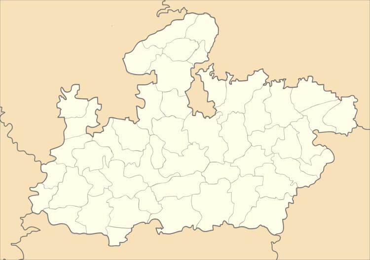
Map of Damua, Madhya Pradesh 480555
Demographics
As of 2001 India census, Damua had a population of 15,856. Males constitute 52% of the population and females 48%. Damua has an average literacy rate of 73%, higher than the national average of 59.5%: male literacy is 79% and, female literacy is 66%. In Damua, 10% of the population is under 6 years of age.
Damua has now declared new municipal in Chhindwara. Damua is a basically divided in three parts.
- Nandan (Kalichhapar)
- Nandora
- Chenkarbary
Schools in Damua & Nandan
- Govt Higher Secondary School,Nandan.
- Govt boys school,Damua.
- Govt Girls school,Damua.
Nearest park & hill station from Damua.
- Satpuda national park.(panchmarhi).Panchmarhi Satpuda park.
- Pench national park (Seoni,Chhindwara).
Temple in Damua
- Sidhnath Temple, Sidhbaba Tekri Damua.
- Nandagiri Shiv Mandir, Nandan
- Sainath Mandir, Purana Damua.
- Shiv mandir, Kalichhapar
- shri mahakaleshvermahadev manir thana compound
- sai nath temple sai sharda school campus
- shri kherapati matamai mandir park road
- shri durga mandir & mangle bhavan gujri bazar
- करूणा बौद्ध विहार, दमुआ नं. ८
Town in Damua Range
1. Damua 2. Nandan 3. Kalichhapar 4. Chikatbary 5. Gop. 6. Dhahu 7. Kangla Bhakra 8. Raijamun 9. Rakhikol & Various small towns in Damua & Nandan range.
Reference Website -damuacity.hpage.com
References
Damua Wikipedia(Text) CC BY-SA