
3-digit postal code prefix 620 Local time Thursday 7:53 AM | Time zone WAT (UTC+1) Area 2,366 km² | |
 | ||
Weather 24°C, Wind NE at 14 km/h, 17% Humidity University Bukar Abba Ibrahim University | ||
Damaturu is a Local Government Area in Yobe State, Nigeria. Its headquarters are in the town of Damaturu, the State capital.
Contents
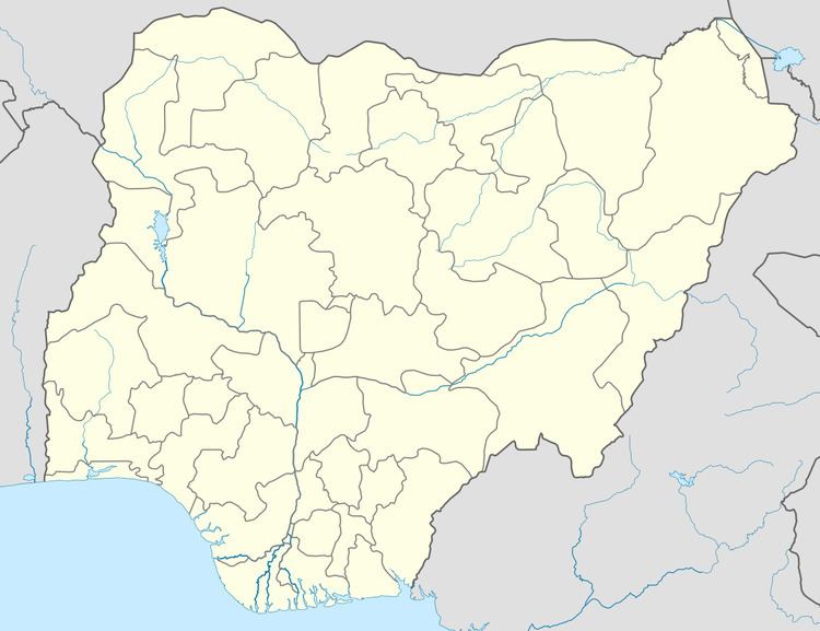
Map of Damaturu, Nigeria
The postal code of the area is 620. The Local Government Area has an area of 2,366 km² and a population of 88,014 at the 2006 census.
The town of Damaturu is on the A3 highway and has an estimated 2010 population of 44,268. Damaturu is the headquarters of the Damaturu Emirate, at one time part of the Ngazaragamo emirate based in Gaidam.
On 16 June 2013, Damaturu was the site of an attack by Boko Haram. Militants attacked a school and killed thirteen people, including students and teachers.
On 26 October 2013, suspected Boko Haram militants engaged security forces in a lengthy gun battle and raided a hospital in Damaturu.
On 1 December 2014, suspected Boko Haram militants carried out attacks on the city. The assault began shortly after 5:00 am local time. Gunshots and explosions were heard and a base of the riot police was reported to have been set on fire. Yobe state university also came under attack.
Nigeria at least nine die in damaturu attack
Geography
The northeasterly line of equal latitude and longitude passes through the area including 12°00′00″N 12°00′00″E in the north.