
Country United States Time zone Eastern (EST) (UTC-5) Elevation 340 m Population 443 (2010) Local time Thursday 1:49 AM | FIPS code 39-20030 Zip code 44619 Area code Area codes 234 and 330 | |
 | ||
Weather 8°C, Wind W at 23 km/h, 39% Humidity Area 210 ha (207 ha Land / 2 ha Water) | ||
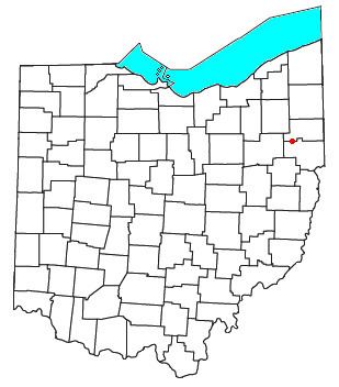
Damascus is a census-designated place (CDP) in southwestern Goshen Township in Mahoning County and northwestern Butler Township in Columbiana County in the U.S. state of Ohio. As of the 2010 census, it had a population of 443. Damascus has a post office, with the ZIP code of 44619. Its elevation is 1,211 feet (369 m), and it is located at 40°54′7″N 80°57′18″W (40.9020031, -80.9550891). The community lies at the intersection of U.S. Route 62 and State Routes 173 and 534.
Contents
Map of Damascus, OH, USA
The Mahoning County portion of Damascus is part of the Youngstown-Warren-Boardman, OH-PA Metropolitan Statistical Area, while the Columbiana County portion is part of the Salem, OH Micropolitan Statistical Area.
History
Damascus was platted in 1808. The community derives its name from the ancient city of Damascus, in Syria. Damascus was originally built up chiefly by Quakers.
The Damascus post office opened in 1828.