
Population 383 (2011) Civil parish Dalton Dialling code 01695 | OS grid reference SD494081 Sovereign state United Kingdom | |
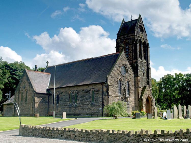 | ||
Dalton (grid reference SD494081) is a village and civil parish in West Lancashire, near Skelmersdale and south of the River Douglas. Dalton was listed in the Domesday Book, and soon after the Norman conquest became part of the Barony of Manchester. It remained part of the Manchester fee as late as 1733. Dalton has a population of 348 (2001 Census), increasing to 383 at the 2011 Census.
Map of Dalton, UK
The local landscape is dominated by Ashurst Hill, which rises 570 feet (170 m) above sea level and is crowned by Ashurst's Beacon. The beacon once formed part of a relay league stretching from Everton Brow above Liverpool to Lancaster Castle, which was in place (though unused) during the Anglo–Spanish War of 1585. The current structure dates from around 1800, when local landowner Sir William Ashurst decided that a more permanent beacon was needed for the oncoming Napoleonic Wars.