
Ward 7 Area 3.34 km² | Quadrant NW Established 1967 Population 9,098 (2006) | |
 | ||
Weather -18°C, Wind N at 11 km/h, 77% Humidity Restaurants Mongolie Grill The, Diary queen dalhousie, Earls Kitchen + Bar, Boston Pizza, Subway | ||
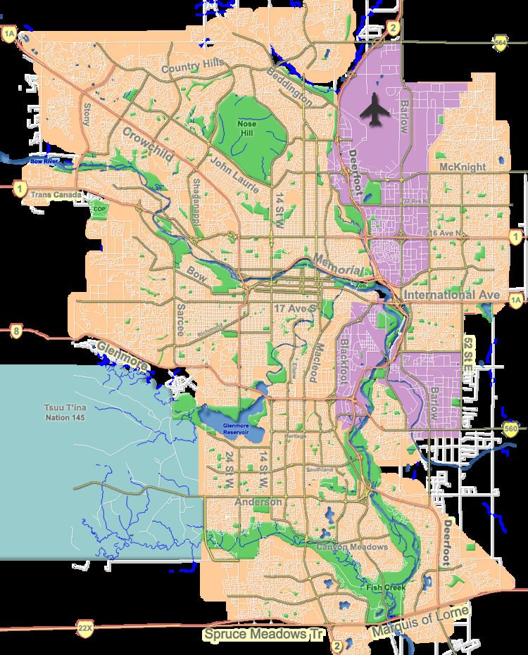
Dalhousie is a neighbourhood in the northwest area of Calgary. It is bounded to the north by John Laurie Boulevard, to the east by Shaganappi Trail, to the south by Crowchild Trail and to the west by Sarcee Trail.
Contents
Map of Dalhousie, Calgary, AB, Canada
Dalhousie was established in 1967 and was named for George Ramsay, 9th Earl of Dalhousie. It is represented in the Calgary City Council by the Ward 7 councillor.
The community is served by the Dalhousie station of the C-Train LRT system.
Demographics
In the City of Calgary's 2012 municipal census, Dalhousie had a population of 7003908500000000000♠9,085 living in 7003373900000000000♠3,739 dwellings, a 1.9% increase from its 2011 population of 7003891700000000000♠8,917. With a land area of 3.3 km2 (1.3 sq mi), it had a population density of 2,750/km2 (7,130/sq mi) in 2012.
Residents in this community had a median household income of $59,298 in 2000, and there were 17.1% low income residents living in the neighbourhood. As of 2000, 24.1% of the residents were immigrants. A proportion of 25.1% of the buildings were condominiums or apartments, and 26.8% were used for renting.
Education
As of 2006, there are four schools in the district: Dalhousie Elementary School, West Dalhousie Elementary School and H.D. Cartwright Junior High School in the public system, and St. Dominic in the Separate (Catholic) system. Students in Dalhousie continue on to Sir Winston Churchill High School in the public system, or St. Francis High School in the Catholic system.