
Vehicle registration GJ | Time zone IST (UTC+5:30) | |
 | ||
Collector Shri. Lalit P. Padalia, I.A.S | ||
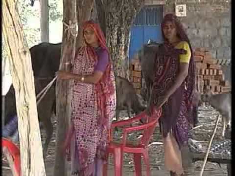
Khauraho type sculptures in village bavak of dahod district of gujarat wmv
Dahod District is located in Gujarat state in western India, called after its administrative HQ. It has a population of 21,26,558 (2011 census), with a population density of 583 persons per km².
Contents
- Khauraho type sculptures in village bavak of dahod district of gujarat wmv
- Map of Dahod Gujarat
- History
- Population
- Geography
- Education
- Economy
- References
Map of Dahod, Gujarat
History
Dahod District was created on 2 October 1997, and was formerly part of Panchmahal District. Its territory mostly consists of two former Princely States, namely Baria (Devgadh) and Sanjeli, in addition to Fatehpura Taluka of Sunth (Rampur), along with the two "eastern mahals" of Dahod and Jhalod from the former Panch Mahals.
Population
It was 8.99% urban at the 2001 census. The population of the district is mostly rural, and a majority of the district's residents are Tribals, mostly Bhils. Dahod District also has the second largest population of the Dawoodi Bohra sect of Ismā'īlī Muslims in India.
At the 2011 census Dahod District had a population of 2,126,558, roughly equal to the nation of Namibia or the US state of New Mexico. It was the 215th most populous district in India (out of a total of 640). The district had a population density of 582 inhabitants per square kilometre (1,510/sq mi). Its population growth rate over the decade 2001–2011 was 29.95%. It had a sex ratio of 986 females for every 1000 males, and a literacy rate of 60.6%.
Geography
This district is bounded by Panchmahal District to the west, Chhota Udaipur district to the south, Jhabua District and Alirajpur District of Madhya Pradesh State to the east and southeast respectively, and Banswara District of Rajasthan State to the north and northeast. The city of Dahod is the district's administrative headquarters. The district has an area of 3,642 km². The actual name is "Dohad", which later got transformed into Dahod. The Mughal Emperor Aurangzeb was born in a mosque within the fort of Dahod.
The district is sub-divided into the following Talukas (Tehsils) :
Education
There is a government polytechnic college since 1963 and it was started by Indian prime minister Mr. Moraraji Desai and now government degree engineering college is also there. The degree college is affiliated to Gujarat University.
Economy
In 2006 the Ministry of Panchayati Raj named Dahod one of the country's 250 most backward districts (out of a total of 640). It is one of the six districts in Gujarat currently receiving funds from the Backward Regions Grant Fund Programme (BRGF).