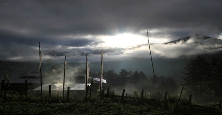
Capital Daga, Bhutan | ||
 | ||
Dagana District (Dzongkha: དར་དཀར་ན་རྫོང་ཁག་; Wylie: Dar-dkar-na rdzong-khag; also spelled "Dhakana," previously known as "Daga") is one of the 20 dzongkhag (districts) comprising Bhutan. Its administrative capital (dzongkhag thromde) is Daga.
Contents
Map of Dagana, Bhutan
Legend has it that the people of Dagana were lawless in the 17th century, and that the Zhabdrung had to send in soldiers to gain control over them.
Languages
Dagana is populated mostly by Dzongkha speakers, however in the southwest near Sarpang District, Nepali is also spoken as a native language.
Administrative divisions
Dagana District itself is divided into fourteen village blocks (or gewogs):
Environment
Like most districts of Bhutan, Dagana contains environmentally protected areas. In southeastern Dagana along the border with India lies the western half of Phibsoo Wildlife Sanctuary, covering parts of Karmaling, Lhamoy Zingkha and Nichula Gewogs. Phibsoo has no human inhabitants. it has a districts with Nepali speaking people .there is only one way to go to daga dzong.has lots of complicated passage.
History
On April 26, 2007 Lhamoy Zingkha Dungkhag (sub-district) was formally handed over from Sarpang Dzongkhag to Dagana Dzongkhag., affecting three gewogs (Lhamoy Zingkha, Deorali and Nichula (Zinchula) and the town of Lhamoy Zingkha, which formed the westernmost part of Sarpang Dzongkhag and now form the southernmost part of Dagana Dzongkhag.
