
 | ||
Dabnik Peak (Bulgarian: връх Дъбник, ‘Vrah Dabnik’ \'vr&h d&b-'nik) is the peak rising to 1090 m off the west extremity of Laclavère Plateau on Trinity Peninsula, Antarctic Peninsula. Situated on the east side of Misty Pass, 14.2 km southeast of Cape Ducorps, 11.14 km southwest of Ami Boué Peak and 9.81 km west-northwest of Kanitz Nunatak. Surmounting Broad Valley to the south and Ogoya Glacier to the northwest.
Contents
Map of Dabnik Peak, Antarctica
The peak is named after the town of Dolni (Lower) Dabnik in northern Bulgaria.
Location
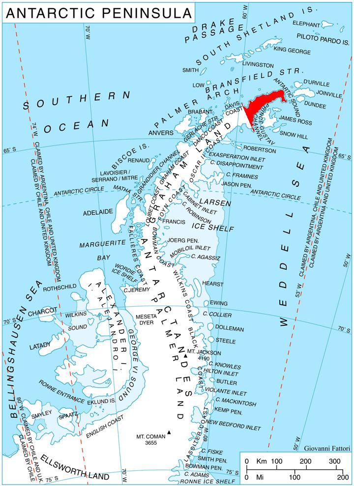
Dabnik Peak is located at 63°28′31″S 57°58′17″W. German-British mapping in 1996.
Maps
References
Dabnik Peak Wikipedia(Text) CC BY-SA