
Length 15.1 km | ||
 | ||
From: Intersection of Commerce Ave. and Investment Drive in Las Piñas-Muntinlupa To: Aguinaldo Highway in Imus Major cities Bacoor, Imus, Las Piñas, Muntinlupa | ||
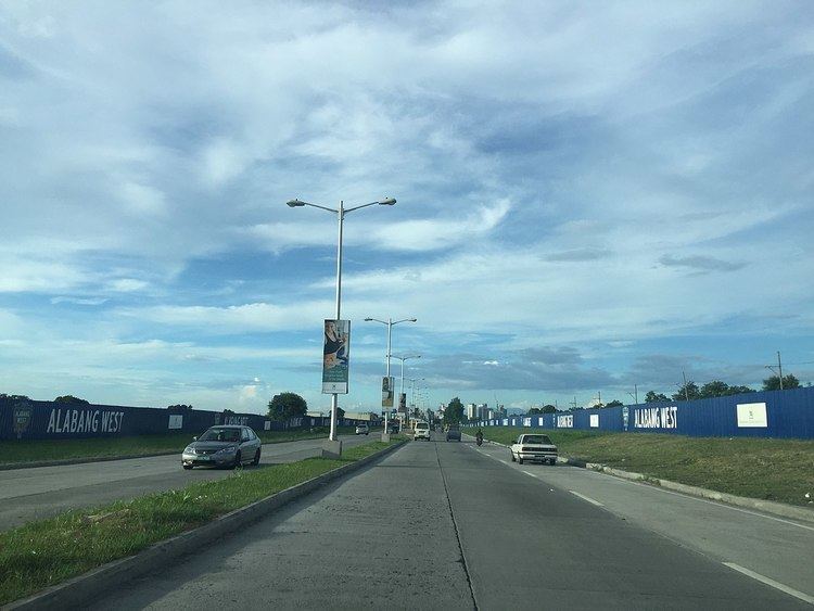
Daang Hari Road also known as the Las Piñas-Muntinlupa-Cavite Road or LAMUCAR, is a major arterial thoroughfare that links southern Metro Manila with the province of Cavite in the Philippines. It begins as a north-south road from Commerce Avenue just south of Alabang–Zapote Road running for 5.9 kilometers (3.7 miles) through the borders of Las Piñas and Muntinlupa. It then runs east-west for 9.2 kilometers (5.7 miles) from the intersection with Daang Reyna Road, winding through the cities of Bacoor and Imus in Cavite where it ends at Aguinaldo Highway near Dasmariñas. It was built in 2003 to decongest traffic in the south metropolis, particularly along Alabang-Zapote Road.
Contents
- Map of Daang Hari Road Philippines
- Route description
- Commerce Avenue to Daang Reyna
- Daang Reyna to Aguinaldo Highway
- Daang Reyna
- Daang Hari SLEX Link Road
- Intersection list
- Landmarks
- References
Map of Daang Hari Road, Philippines
Route description
Most of the section known as Daang Hari is a four-lane median divided highway. It is split into two sections by Daang Reyna Road at the boundary of Las Piñas, Muntinlupa and Bacoor.
A spur road, named Daang Reyna, leads to some gated communities, Muntinlupa and San Pedro, Laguna via Magsaysay Road.The spur is mostly a two-lane divided road.
Commerce Avenue to Daang Reyna
Daang Hari's northern terminus is at the junction with Commerce Avenue in Madrigal Business Park near Alabang Town Center where it is a continuation of the short Investment Drive from Alabang–Zapote Road. The road forms the border between Barangay Ayala Alabang and Poblacion of Muntinlupa to the east and Barangay Almanza of Las Piñas to the west. The road passes the following villages from north to south: T.S. Cruz Subdivision, Ayala Alabang, Ayala Southvale, Versailles, Katarungan Village and Portofino Heights before coming to an intersection with Daang Reyna in Evia City.
Daang Reyna to Aguinaldo Highway
From the Daang Reyna junction, the road curves sharply to the west and traverses the Molino villages of Bacoor including, from east to west, Verdana Homes, Malipay and Springville South. It intersects with Molino Road / Molino-Paliparan Road where SM Center Molino is located. A few hundred meters west of Molino Road, Daang Hari enters Imus passing through Barangay Pasong Buaya before terminating at the intersection with Aguinaldo Highway in Anabu near the boundary with Salitran, Dasmariñas where The District mall is located.
Daang Reyna
Daang Reyna, or Vista Avenue, is a 2 kilometres (1.2 mi) spur of Daang Hari, starting from the Daang Hari - MCX interchange near Evia. It spur off Daang Hari at the roundabout near MCX and continues south towards another roundabout with Victoria Avenue, which leads to Muntinlupa and San Pedro, Laguna. The road lies near the Muntinlupa - Las Piñas boundary and passes near gated communities like Portofino South and Amore at Portofino, owned by Vista Land.
Daang Hari-SLEX Link Road
A 4-kilometer extension of Daang Hari Road is now being built that will connect it to South Luzon Expressway (SLEX) in Muntinlupa near San Pedro, Laguna. The toll road, the first Public Private Partnership (PPP) project under the administration of President Benigno Aquino III with Ayala Corporation, will run from the junction with Daang Reyna east towards the Susana Heights interchange of SLEX traversing the New Bilibid Prison (NBP) Reservation in Muntinlupa. It is expected to be completed by September 2014.
The toll road, now known as the Muntinlupa-Cavite Expressway, was opened to traffic on 24 July 2015.
Intersection list
The intersections on the lists below are arranged from the starting point (southbound).
Daang Reyna
The whole segment is in Las Piñas