
River mouth Yoshino River Length 55 km Basin area 280 km² Country Japan | Basin size 280 km (110 sq mi) Discharge 500 m³/s Mouth Yoshino River | |
 | ||
Main source Mount Kanmuri
1,732 m (5,682 ft) | ||
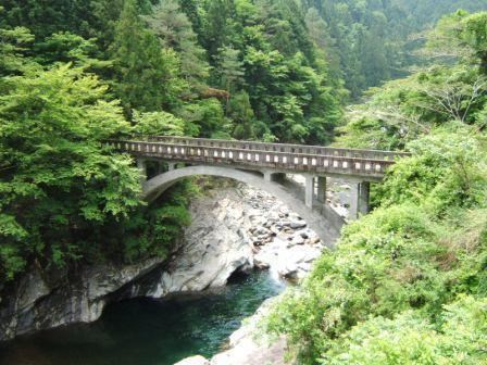
The Dōzan River (銅山川, Dōzan-gawa) is the largest branch of the Yoshino River and flows through Ehime and Tokushima prefectures in Japan. Its name was derived from the Besshi copper mine that is now closed. In Tokushima Prefecture, it is called the Iyo River (伊予川 Iyo-gawa).
Contents
- Map of Dozan River Kinshacho Hiranoyama Shikokuchuo Ehime Prefecture Japan
- Geography
- History
- References
Map of Dozan River, Kinshacho Hiranoyama, Shikokuchuo, Ehime Prefecture, Japan
Geography
The rivers originates Mount Kanmuri on the borders of Ehime and Kōchi prefectures. It then flows through Shikokuchūō in Ehime Prefecture and Miyoshi in Tokushima Prefecture, before joining with the Yoshino River.
History
In 1900, poisons from the various minerals excavated at the nearby copper mine seeped into the river, poisoning the local populations downstream.
References
Dōzan River Wikipedia(Text) CC BY-SA