Area 2.69 km² | Region Normandy Intercommunality CC Terroir de Caux Local time Wednesday 9:35 PM | |
 | ||
Weather 11°C, Wind W at 26 km/h, 96% Humidity | ||
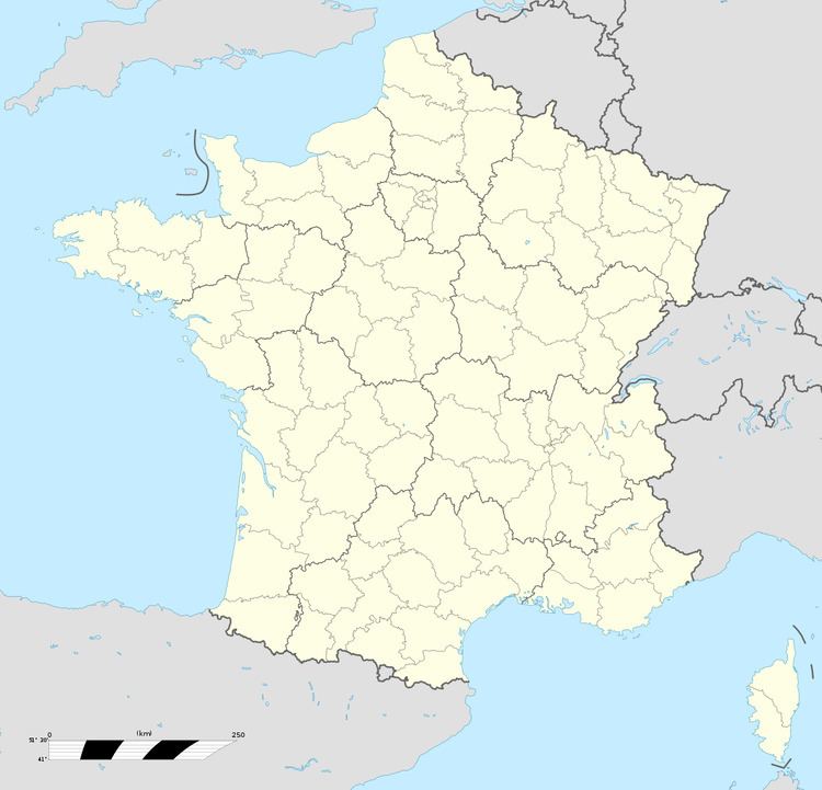
Dénestanville is a commune in the Seine-Maritime department in the Haute-Normandie region in north-western France.
Contents
Map of 76590 D%C3%A9nestanville, France
Geography
A farming village situated by the banks of the river Scie in the Pays de Caux, some 8 miles (13 km) south of Dieppe, at the junction of the D107 and the D3 roads.
History
Danestanvilla 1051, Donestanville 1088, Dunestanvilla 1142. Dunstan's farm, name of an Anglo-Saxon farmer who came from danelaw with the danes, probably in the 10th century, to settle in Normandy. Seat of the family de Dunstanville. See Reginald de Dunstanville.
Places of interest
References
Dénestanville Wikipedia(Text) CC BY-SA
