
Population 830 (2011 census) LGA(s) Moreton Bay Region Local time Wednesday 10:46 AM | Postcode(s) 4514 Postal code 4514 | |
 | ||
Location 21 km (13 mi) NW of Caboolture68 km (42 mi) NNW of CBD Weather 24°C, Wind S at 13 km/h, 46% Humidity | ||
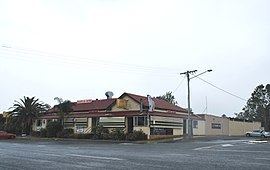
D'Aguilar is a rural township and locality in the Moreton Bay Region, Queensland, Australia. It is located northwest of the larger centre of Caboolture. In the 2011 census, the locality recorded a population of 830 persons, living in 255 inhabited dwellings, all of which were detached houses.
Map of D'Aguilar QLD 4514, Australia
D'Aguilar lies on the D'Aguilar Highway between Wamuran and Woodford. It is also the northern endpoint of Mount Mee Road, which leads south through Delaneys Creek and Mount Mee to Dayboro. A small section of the Beerburrum West State Forest is in D'Aguilar.
The town is named for George Charles D'Aguilar, a military officer who wrote Regulations and Punishments of the British Army, the army textbook in use at the time of the town's establishment. As time passed, the mountain range that the town is situated in came to be named after the town.