
Elevation 240 m | Population 348 Local time Tuesday 6:38 PM | |
 | ||
Weather 2°C, Wind NW at 13 km/h, 86% Humidity Voivodeship | ||
Czaple [ˈt͡ʂaplɛ] (German: Hockenau) is a village in the administrative district of Gmina Pielgrzymka, within Złotoryja County, Lower Silesian Voivodeship, in south-western Poland. It lies approximately 6 kilometres (4 mi) west of Pielgrzymka, 13 kilometres (8 mi) west of Złotoryja, and 91 kilometres (57 mi) west of the regional capital Wrocław.
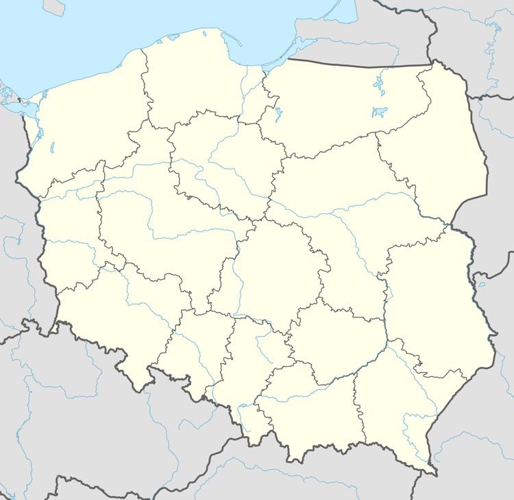
Map of Czaple, Poland
Before 1945 the area was part of Germany. After World War II the region was placed under Polish administration and ethnically cleansed according to the post-war Potsdam Agreement. The native German populace was expelled and replaced with Poles.
The village has a population of 348.
References
Czaple, Lower Silesian Voivodeship Wikipedia(Text) CC BY-SA