
Country United States GNIS feature ID 507803 Local time Tuesday 3:00 AM | Time zone Central (CST) (UTC-6) Elevation 288 m | |
 | ||
Weather 16°C, Wind S at 29 km/h, 62% Humidity | ||
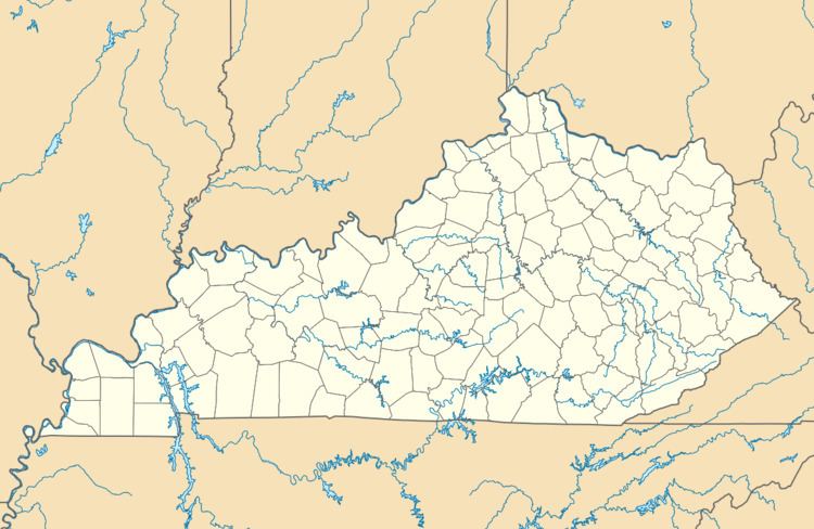
Cyclone is an unincorporated community in Monroe County, Kentucky, United States.
Map of Cyclone, KY 42166, USA
A post office was established in the community in 1891. It was named for a cyclone which had struck the area in the late 19th century leaving several people dead. The cyclone hit the city at 8.30pm on March 27, 1890 and only lasted five minutes but destroyed several buildings including the Falls City Hall which buried around 200 people and the Waterworks stand tower which could have potentially cut off the water supply for the entire city.
References
Cyclone, Kentucky Wikipedia(Text) CC BY-SA