
Area 80.79 km² | Postal code 50105 | |
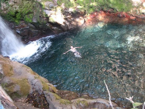 | ||
Curubandé is a district in the Liberia Canton of Costa Rica. In recent years, Curubandé has become a center of tourism within Costa Rica. This is due in large part to the nearby Rincon de la Vieja National Park.
Contents
Map of Guanacaste Province, Curuband%C3%A9 de Liberia, Costa Rica
Curubande is also the site of Las Pailas Geothermal Central, a large geothermal power plant that is being built to provide a large portion of Costa Rica's electric energy needs.
The district has a population of about 2,800 people.
Villages
Administrative center of the district is Cereceda. Other villages are Colorado and Curubandé.
References
Curubandé de Liberia Wikipedia(Text) CC BY-SA