
Website www.curridabat.go.cr Elevation 1.21 m Population 72,564 (2010) | Established August 21, 1929 Founded 21 August 1929 Area 15.95 km² | |
 | ||
Districts 4 districts (distritos)CurridabatGranadillaSánchezTirrases Time zone Central Standard Time (UTC-6) Weather 21°C, Wind E at 35 km/h, 71% Humidity Colleges and Universities Universidad Autónoma de Centro América, Universidad Juan Pablo II | ||
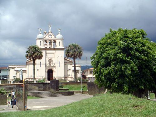
Curridabat is the 18th canton in the province of San José in Costa Rica. The canton covers an area of 15.95 square kilometres (6.16 sq mi), and has a population of 72,564 (estimate as of 2010). The capital city of the canton is also called Curridabat.
Contents
- Map of San JosC3A9 Curridabat Costa Rica
- Location
- Districts
- History
- Points of interest
- Notable residents
- References
Map of San Jos%C3%A9, Curridabat, Costa Rica
The canton forms a suburb of the national capital of San José, lying on the southeast edge of the city.
Location
The city is located southeast of the city of San José and its limits are:
Districts
The canton of Curridabat is subdivided into four districts (distritos):
History
The canton was established by law on August 21, 1929.
In 1930 the canton had a municipality with three regidores, a Major (AKA Ejecutivo Municipal) and Jefe político (both charges were in the same person). At this time the canton's population were 5,000 people, but with the time and the population grew and the municipality had to create a sanitation department to collect garbage, road, sidewalk maintenance and built some infrastructure. Then the municipality Council was expanded to five members by popular election in 1970.