
- right Abecketts Creek - elevation 92 m (302 ft) | - location Tandarook - elevation 0 m (0 ft) | |
 | ||
- left Burnip Creek, Power Creek, Fenton Creek, Scotts Creek (Victoria), Spring Creek (Victoria) - location Curdies Inlet, Peterborough | ||
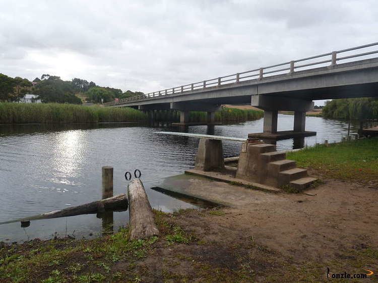
The Curdies River is a perennial river of the Corangamite catchment, located in The Otways region of the Australian state of Victoria.
Contents
Map of Curdies River, Victoria, Australia
Location and features
The Curdies River rises below the settlement of Tandarook in southwest Victoria, east of the settlement of Cobden and flows generally south by west, joined by six minor tributaries through the Port Campbell National Park, before reaching its river mouth and emptying into the Great Australian Bight at Curdies Inlet, at the settlement of Peterborough. From its highest point, the Curdies River descends 92 metres (302 ft) over its 66-kilometre (41 mi) course.
References
Curdies River Wikipedia(Text) CC BY-SA