
Local time Monday 2:41 PM | Elevation 24 m (79 ft) | |
 | ||
Named for "Black stone" in Mapudungun Weather 24°C, Wind SW at 19 km/h, 37% Humidity | ||
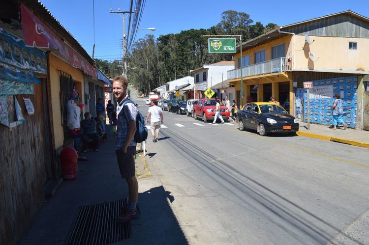
Curanipe (in mapudungun: "plum tree that grows in the rock") is a town and seat of the municipality of Pelluhue, Province of Cauquenes, in VII Maule Region of Chile.
Map of Curanipe, Pelluhue, Maule Region, Chile
A popular and charming coastal resort, Curanipe used to be a well-known and secluded hangout for the Cauquenes elite and a proud regional "minor port", during the mid- and late 19th century. The town has a quaint architectural style that echoes the colonial rural architecture of Chile.
The Curanipe parish church of Santo Toribio, is a beautifully preserved religious building overlooking the town.
On 27 February 2010 at 06:34:14 GMT (03:34:14 AM local time), a magnitude 8.8 earthquake struck the seafloor 7 miles (11 km) southwest of Curanipe.
References
Curanipe Wikipedia(Text) CC BY-SA