
Country United States County Owen GNIS feature ID 0449035 Zip code 46120 | State Indiana Time zone Eastern (EST) (UTC-5) Elevation 242 m Area code 812 | |
 | ||
Weather 11°C, Wind S at 21 km/h, 92% Humidity | ||
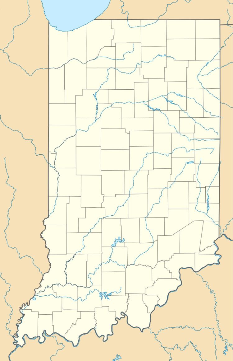
Cunot is an unincorporated community in Jackson Township, Owen County, Indiana, United States. It lies near the intersection of Indiana Highway 42 and Indiana Highway 243, which is a community about twenty miles north of the city of Spencer, the county seat of Owen County. Its elevation is 722 feet (220 m), and it is located at 39°27′23″N 86°51′17″W (39.4564339 -86.8547315). Although this community is located within Owen County on its northern boundary, it has an address of Cloverdale, Indiana in Putnam County, which is about six miles northeast of the community.
Contents
History
A post office was established at Cunot in 1894, and remained in operation until 1905. The name may be derived from "Q-knot", alluding to the shape of a local road.
Geography
This community is on the east side of Cagles Mill Lake, which is located at 39°27′52″N 86°52′58″W (39.4644628 -86.8829156).
Richard Lieber State Park is northwest of this community, the park located at 39°28′45″N 86°52′28″W (39.4792115 -86.8744544).