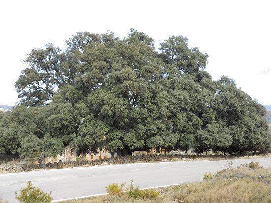
Country Spain Elevation 1,088 m (3,570 ft) Area 116.3 km² Population 559 (2014) | Judicial district Castelló de la Plana Demonym(s) Cullà, cullana Local time Monday 12:00 PM | |
 | ||
Weather 15°C, Wind NW at 8 km/h, 52% Humidity | ||
Rifare la culla
Culla is a municipality in the comarca of Alt Maestrat, Castellón, Valencia, Spain.
Contents
- Rifare la culla
- Map of Culla 12163 CastellC3B3n Spain
- Chicco next2me video istruzioni culla
- History
- Villages
- References
Map of Culla, 12163, Castell%C3%B3n, Spain
The town is located on a 1,121 m high mountain, right to the SE of the town rises the 1,090 m high Tossal de la Serrà and further away the 1,087 m high Esparreguera, the tallest summit of the Serra d'Esparreguera. Nearby Montlleó River hides canyons only accessible from Culla.
Culla has a population of 633 inhabitants.
Chicco next2me video istruzioni culla
History
The castle of the town was one of the main castles of the historical Maestrat area in ancient times.
Villages
References
Culla Wikipedia(Text) CC BY-SA
