
Population 339 (2011 census) Postal code 3530 | Postcode(s) 3530 Local time Monday 9:50 PM | |
 | ||
Location 319 km (198 mi) NW of Melbourne179 km (111 mi) NW of Bendigo122 km (76 mi) SE of Ouyen43 km (27 mi) N of Wycheproof Weather 25°C, Wind SE at 14 km/h, 33% Humidity | ||
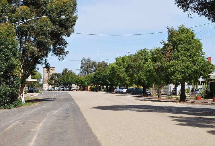
Culgoa is a town in the Mallee region in the north west of the Australian state of Victoria. The town is approximately 319 kilometres (198 mi) from the state capital, Melbourne. At the 2011 census, Culgoa had a population of 339.
Map of Culgoa VIC 3530, Australia
Primary production in the area is predominantly wheat and barley, with some legume and oil crops. Sheep numbers have been down since the drought took hold in the early 2000s.
The Post Office opened on 27 May 1893 as Kaneira shortly after the arrival of the railway and was renamed Culgoa in 1920. In 2006 the post office was relocated to the Culgoa Community Store which is a community owned not for profit business to meet the daily needs of the locals.
In 2003 when it looked like the local store would close the community formed a co-operative and purchased the store to run for themselves. The store provides newspapers, bread, milk, groceries and some takeaway. Computer access is also available to the community.
Golfers may play at the Culgoa Golf Club on the Calder Highway. Other sporting venues include tennis, lawn bowls, netball and football.
In 2008 the local Primary School closed its doors after 98 years of service to the children of the area.