
Sovereign state United Kingdom Postcode district IP28 Local time Monday 10:49 AM District St Edmundsbury | Dialling code 01284 | |
 | ||
Weather 8°C, Wind NW at 18 km/h, 86% Humidity | ||
Cebjda culford london england wee 2013
Culford is a small village about 4 miles (6 km) north of Bury St Edmunds in the English county of Suffolk. The village developed along a straight road called "The Street" and there are also some smaller residential areas in Culford, like Benyon gardens, a complex of small lanes. Most of the houses in central Culford are pre-war while those at the edges of the village are post-war and later. The population is included in the civil parish of Barton Mills.
Contents
- Cebjda culford london england wee 2013
- Map of Culford Bury Saint Edmunds UK
- Wedding photography culford suffolk
- Governance
- References
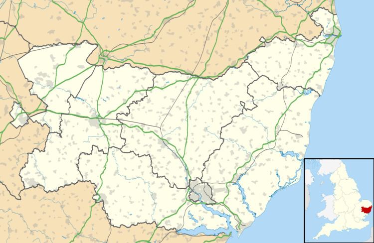
Map of Culford, Bury Saint Edmunds, UK
Culford is home to Culford School, a public school and a member of the Methodist Schools Foundation. The school occupies a former stately home in Culford Park, built in 1796 for the Cornwallis family.
Culford's Public House, The White Hart, (now known as Benyon Lodge) was closed in December 1840 by Richard Benyon, owner of the Culford Estate between 1824 and 1883, because he regarded it as "a scene of moral debauchery".
The first mention of a postal service in Culford is in July 1852, when a type of postmark known as an undated circle was issued. The post office closed in January 1990 and has since been turned into Culford Day nursery.
Wedding photography culford suffolk
Governance
Culford lies in the St Edmundsbury borough of the shire county of Suffolk. The four tiers of government & their respective representatives are:
Culford, West Stow and Wordwell Parish Councill has 7 elected members
In terms of community planning the parish does not currently have a Parish Plan or Village Design Statement.