Population (1999) 1,666 Local time Monday 11:02 AM | Canton Cambrin Area 4.15 km² | |
 | ||
Intercommunality Communauté d'agglomération de l'Artois Weather 8°C, Wind W at 14 km/h, 75% Humidity | ||
Cuinchy is a commune in the Pas-de-Calais department in the Hauts-de-France region of France.
Contents
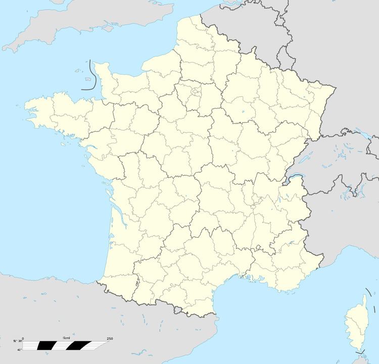
Map of 62149 Cuinchy, France
Geography
A farming village some 5 miles (8.0 km) east of Béthune and 20 miles (32.2 km) southwest of Lille, at the junction of the D166 and the D166E3 roads, by the banks of the Canal-d’Aire.
History
During the First World War, Cuinchy was on the front line between German and Allied forces and severely damaged. After the war, the church of St. Pierre was rebuilt, as was most of the village. Cuinchy also was the site of sustained underground fighting between German and British tunneling units.
Places of interest
References
Cuinchy Wikipedia(Text) CC BY-SA
