
Area 1,779 km² | Population 798 (2005) | |
 | ||
Time zone Central Standard Time (UTC-6) | ||
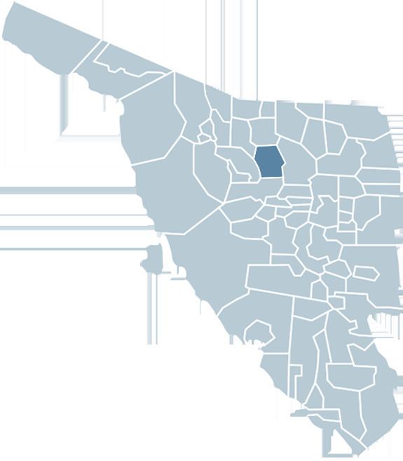
Cucurpe Municipality is a municipality in Sonora in north-western Mexico.
Contents
Map of Cucurpe, Sonora, Mexico
Area and Population
The total area of the municipality is 1,778.55 square kilometers, which represents 0.96% of the state total and 0.09% of the national total. The population of the municipality was 937 inhabitants in the 2000 census and 798 inhabitants in the 2005 second count. The population of the municipal seat was 487 in 2000. The negative population growth is due to the high migration from this municipality, the deficient educational infrastructure, and the lack of sources of work.
Municipal boundaries
The municipality has boundaries with Imuris in the north, Arizpe in the east, Opodepe in the south, Santa Ana in the west, Magdalena de Kino in the northwest.
Links
References
Cucurpe Municipality Wikipedia(Text) CC BY-SA