
Length 965 km Source elevation 1,450 m | Basin area 152,570 km² Mouth Barra do Cuanza | |
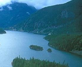 | ||
Cuanza river angola
The Cuanza River, also known as the Coanza, the Quanza, and the Kwanza, is a river in Angola. It empties into the Atlantic Ocean just south of the national capital Luanda.
Contents
Map of Cuanza, Angola
Geography
The river is navigable for about 150 miles (240 km) from its mouth, located 60 kilometers (37 mi) south of Luanda. Its tributaries included the Cutato and Lucala.
History
The river's navigable lower course was the original route of Portugal invasion into northern Angola.
The Capanda Dam in Malanje Province was finished in 2004, providing hydroelectric power to the region and assisting its irrigation. The Cambambe Hydroelectric Power Station also lies on the river, with the Lauca Dam under construction. The Barra do Kwanza, the mouth of the river, is gradually being developed for tourism, including a golf course.
Wildlife
Rich biodiversity has been found in the Angolan river, according to research reported on the Science and Development Network website. Angola's first biodiversity tally of the Kwanza River has so far found 50 fish species. Researchers from the National Fishing Research Institute and the South African Institute for Aquatic Biodiversity say genetic testing may reveal new species. Sport fishing includes tarpon.
Legacy
Angola's currency, the kwanza, is named after the river. The river is also the namesake of the provinces of Cuanza Norte ("Cuanza North") and Cuanza Sul ("Cuanza South").