
Country Hungary County seat Szeged Postal code 66xx – 69xx Area 4,263 km² | Region Southern Great Plain Area rank 12th in Hungary Area code(s) (+36) 62, 63 Clubs and Teams SC Pick Szeged | |
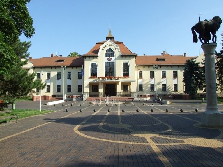 | ||
Points of interest Szeged Cathedral, Szeged Synagogue, Szeged Zoo, Lake Fehér, Pannonian Basin Destinations Szeged, Makó, Mórahalom, Ópusztaszer, Szentes | ||
This article is about the county. For the town see Csongrád. For the historical comitatus see Csongrád County (former).
Contents
- Map of CsongrC3A1d Hungary
- Geography
- Neighbours
- Demographics
- Ethnicity
- Religion
- Politics
- Municipalities
- Cities with county rights
- Towns
- Villages
- References
Map of Csongr%C3%A1d, Hungary
Csongrád (Hungarian pronunciation: [ˈt͡ʃonɡraːd]) is the name of an administrative county (comitatus or megye) in southern Hungary, on the both sides of the river Tisza, on the border with Serbia and Romania. It shares borders with the Hungarian counties Bács-Kiskun, Jász-Nagykun-Szolnok and Békés. The administrative centre of Csongrád county is Szeged. The county is also part of the Danube-Kris-Mures-Tisa euroregion.
Geography
This county has a total area of 4,263 km2 (1,646 sq mi) – 4,58% of Hungary.
The area of Csongrád County is flat. It has a high number of sunshine hours and excellent soil, which makes it the most important agricultural area of Hungary. Its most famous products are paprika from Szeged and onion from Makó, but grain, vegetables and fruits are also significant. Half of the onion, paprika and vegetables produced in Hungary are from Csongrád. The county is also rich in oil and natural gas.
The highest point is Ásotthalom (125 m), the lowest is Gyálarét (78 m; lowest point of Hungary).
Neighbours
Demographics
After the Ottoman occupation, in 1715 the county was nearly uninhabited, the population density was less than 5/km2. In the 18th and 19th centuries, the county was repopulated by ethnic Hungarians from the relatively overpopulated northern and western counties of the Kingdom of Hungary. Now, the county is home for 423,826 people (216,936 people live in urban counties) with a population density is 100/km2. It has a Hungarian majority.
In 2015, it had a population of 406,205 and the population density was 95/km².
Ethnicity
Besides the Hungarian majority, the main minorities are the Roma (approx. 5,000), Romanians (1,500), Germans (1,300) and Serbs (1,300).
Total population (2011 census): 417,456
Ethnic groups (2011 census): Identified themselves: 367 193 persons:
Approx. 59,000 persons in Csongrád County did not declare their ethnic group at the 2011 census.
Religion
Religious adherence in the county according to 2011 census:
Politics
The Csongrád County Council, elected at the 2014 local government elections, is made up of 20 counselors, with the following party composition:
Municipalities
As a typical Great Plain county, Csongrád has a relatively small number of municipalities. 72.5% of the population lives in cities/towns, so it is one of the most urbanized county in Hungary.
Csongrád County has 2 cities with county rights (megyei jogú város), 8 towns (város), 7 large villages (nagyközség) and 43 villages (falu):
Cities with county rights
Towns
(ordered by population, as of 2011 census)
Villages
municipalities are large villages.