
Time zone CET (UTC+1) Area 82.06 km² Local time Monday 6:22 AM | County Bács-Kiskun Postal code 6239 Population 2,662 (2005) Area code 78 | |
 | ||
Weather 4°C, Wind S at 10 km/h, 92% Humidity | ||
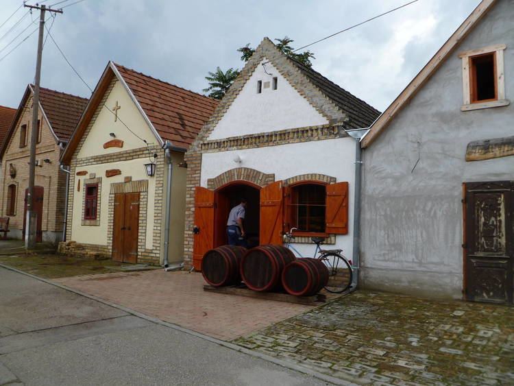
Császártöltés is a village in Bács-Kiskun county, in the Southern Great Plain region of southern Hungary.
Contents
Map of Cs%C3%A1sz%C3%A1rt%C3%B6lt%C3%A9s, 6239 Hungary
Croats in Hungary call this village Tetiš or Tuotiš. Germans in Hungary call this village Tschasartet or Kaiserdamm.
Geography
It covers an area of 82.06 km2 (32 sq mi) and has a population of 2,662 people (2005).
References
Császártöltés Wikipedia(Text) CC BY-SA