
Time zone UTC -3 Postal code 45019 | Dial plan +598 463 (+5 digits) Population 463 (2011) | |
 | ||
Weather 21°C, Wind E at 18 km/h, 64% Humidity | ||
Cruz de los Caminos, formerly named Cuchilla de Caraguatá or Caraguatá is a village in the Tacuarembó Department of Uruguay. It took its original name from a nearby range of hills, known as the Cuchilla de Caraguatá. The word 'Caraguatá' refers to a local plant and is also the name of a nearby stream.
Contents
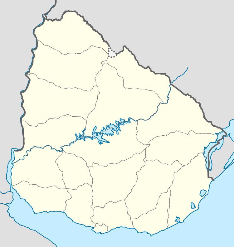
Location
The village is situated in the east of the department, 6.5 kilometres (4.0 mi) southeast of Las Toscas, on km. 360 of Route 6 and on its intersection with Route 26.
Population
In 2011 Cruz de los Caminos had a population of 463. No former census had given results for this location.
Public schools
In Cruz de los Caminos is Public School 61, while 2.7 kilometres (1.7 mi) to its west, on Route 6 is Public School 26, next to the police station. About 4.6 kilometres (2.9 mi) west-southwest of Las Toscas is the rural area Public School 28, named Costas de Caraguatá.