Time zone UTC -3 Dial plan +598 463 (+5 digits) Population 1,142 (2011) | Postal code 45019 Local time Sunday 10:04 PM | |
 | ||
Weather 14°C, Wind SW at 6 km/h, 68% Humidity | ||
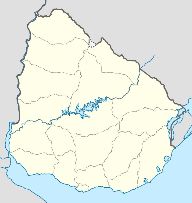
Las Toscas is a village or populated centre in the Tacuarembó Department of northern-central Uruguay.
Contents
- Map of 45019 Las Toscas TacuarembC3B3 Department Uruguay
- Location
- Population
- Places of worship
- References
Map of 45019 Las Toscas, Tacuaremb%C3%B3 Department, Uruguay
Location
The village is located on Route 26, about 6.5 kilometres (4.0 mi) northwest of its intersection with Route 6 and about 60 kilometres (37 mi) southeast of Ansina. The stream Arroyo Caraguatá flows by the west limits of the village.
Population
In 2011 Las Toscas had a population of 1,142.
Source: Instituto Nacional de Estadística de Uruguay
Places of worship
References
Las Toscas, Tacuarembó Wikipedia(Text) CC BY-SA
