Founded by Christian Holler Local time Sunday 6:22 PM | Elevation 709 ft (216 m) Area code 574 | |
 | ||
Weather 14°C, Wind SE at 18 km/h, 44% Humidity | ||
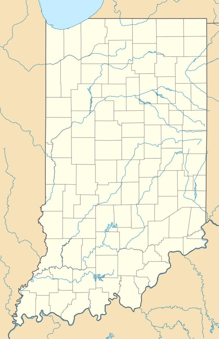
Crumstown is an unincorporated community in LaPorte and St. Joseph counties, in the U.S. state of Indiana.
Contents
Map of Crumstown, IN 46554, USA
History
Christian Holler laid out the original plat of the town of Crum's Point (Crumstown) on April 21, 1875, on the line of the Grand Trunk Railroad. The community was named after Nathaniel H. Crum, an early settler. Christian Holler platted an addition to the town on January 20, 1882 in Warren Township near the junction of the Grapevine Creek and the Kankakee River. The population in 1900 was one hundred.
A post office was established at Crumstown in 1875, and remained in operation until it was discontinued in 1918.
Geography
Crumstown is located at 41°37′27″N 86°24′29″W.
References
Crumstown, Indiana Wikipedia(Text) CC BY-SA
