
Population 312 (2011 census) Mean max temp Mean min temp Postal code 4871 | Postcode(s) 4871 State electorate(s) Mount Isa Elevation 116 m Local time Monday 8:08 AM | |
 | ||
Location 1,896 km (1,178 mi) NW of Brisbane529 km (329 mi) W of Cairns156 km (97 mi) SE of Normanton147 km (91 mi) W of Georgetown Weather 27°C, Wind NE at 10 km/h, 86% Humidity | ||
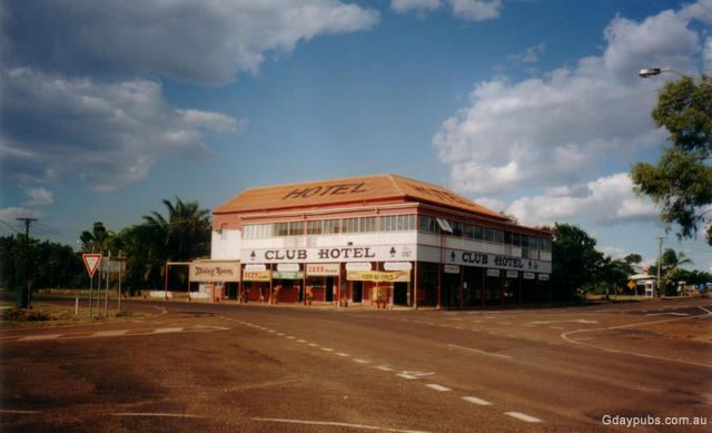
Croydon is a town and locality within the Shire of Croydon in Queensland, Australia. At the 2011 census, the town and surrounding area recorded a population of 312 people. It is a terminus for the Normanton to Croydon railway line, which operates the Gulflander tourist train.
Contents
Map of Croydon QLD 4871, Australia
History
The historic goldrush town of Croydon is located in the heart of the Gulf Savannah, 529 kilometres (329 mi) west of Cairns. Croydon was a large pastoral holding covering an area of approximately 5,000 square kilometres (2,000 sq mi), when first settled in the 1880s. The town's name is derived from a pastoral run name, used by Alexander Brown and William Chalmers Brown, pastoralists; William Chalmers Brown was born in Croydon, England in 1841. Gold was discovered in 1885 and by 1887, the town's population had reached 7,000. Croydon Post Office opened on 20 March 1886.
Croydon State School was established on 12 September 1889 but did not open until 7 July 1890.
Gold was to be the main economic production of the area for four decades. The Mining Warden left in 1926 as there were too few miners left on the field. During its heyday, Croydon was the fourth largest town in the colony of Queensland.
In 1917, Dr. Elkington, Director of the Division of Tropical Hygiene, Commonwealth Department of Health, was concerned about health and hygiene of its growing population, contemplated conducting a statistical and social survey of the town, which did not eventuate. Elkington's interest in sociological surveys of gathering social and economic details on a population later developed into the 1924 Sociological Survey of White Women conducted from the Institute of Tropical Medicine in Townsville.
Currently, Croydon has a much smaller population, having greatly decreased following the end of the gold rush. The population is now a few hundred people. The town is one of the termini for the Gulflander railway, opened for the gold rush in 1891 but now a tourist railway operated by Traveltrain. In early 2009, the close proximity of a receding cyclone ex-Cyclone Charlotte, caused torrential rain and Croydon to be flooded. An estimated $5 million of damage was made to town infrastructure.
Heritage listings
Croydon has a number of heritage-listed sites, including:
Facilities
Croydon has a public library, swimming pool, golf course, lawn bowls, a museum, a tourist information centre, caravan park and a primary school.
Croydon State School is a government primary school (years P-6) in Brown Street. In 2014, it had 42 students enrolled with 2 classes (years P-3 and years 4-6) with 3 teachers.
Water supply is sourced from Lake Belmore.
In popular culture
Croydon was mentioned in the 1950 novel "A Town Like Alice" by Nevil Shute, as an example of a largely abandoned gold rush town.