
Type Street | Length 2.3 km (1.4 mi) Major cities Sydney | |
 | ||
Suburb(s) East Sydney, Darlinghurst and Surry Hills | ||
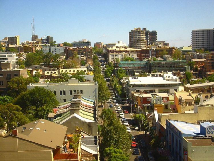
Crown Street is a 2.3-kilometre (1.4 mi) street in the inner Sydney suburbs of Woolloomooloo, East Sydney, Darlinghurst and Surry Hills, in New South Wales, Australia. The Surry Hills section is lined with restaurants and shops and includes the Crown Street Public School, the Surry Hills Library and Community Centre, and the White Horse Hotel.
Contents
Map of Crown St, New South Wales, Australia
Traffic volumes vary, depending on the segment of Crown Street. South of William Street in East Sydney, the average traffic movements in 2016 for north-bound vehicles was 5,690; while the movements for south-bound vehicles was 4,136.
History
An electric tram service formerly ran down Crown Street from Oxford Street to Cleveland Street until its closure in the late 1950s. The now-closed Crown Street Women's Hospital was once the largest maternity hospital in Sydney. It opened in 1893, and was closed in 1983. The site has now been redeveloped as housing and mixed commercial use.